
Site investigations on Bridge to inform design of flood defence for housing and wider regeneration
- Site investigations will take place on The Bridge in early July to inform the design of a proposed flood defence
- Ground penetrating radar survey scheduled for 2–3 July, with bore holes and trial holes from 6–10 July
- Some parking will be suspended and pavements closed for limited periods during the works
- The flood defence is needed to support housing development and protect existing homes and businesses from sea level rise
- The investigations aim to reduce the risk of costly issues emerging later in the construction process
Short-term site investigations will take place on The Bridge in early July as part of preparations for a proposed flood defence designed to support housing development and wider regeneration in the area.
The investigations will check ground conditions, drainage and what lies beneath the road surface before construction begins. This work is intended to reduce the risk of issues emerging later in the project, when they would be more expensive and disruptive to address.
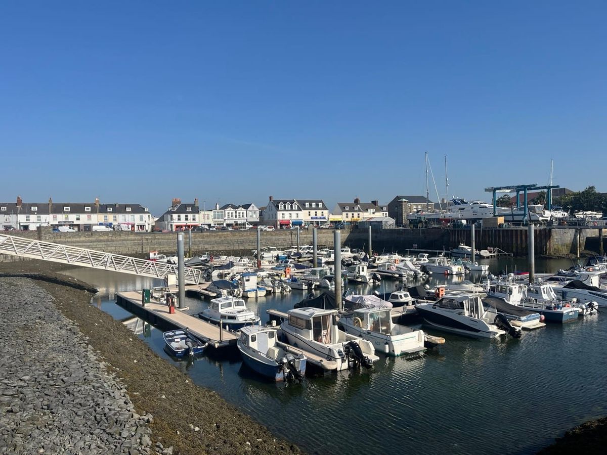
The flood defence is being planned to address the risk of water overtopping at The Bridge seafront, which is a key consideration for several sites allocated for housing in the area as well as existing homes and businesses nearby. While the risk is described as small, officials say it is real and requires action.
The latest climate change analysis for Guernsey and forecast rises in sea levels indicate that the potential impact could be significant.
Workers will carry out a ground penetrating radar survey of the area from Thursday 2 July to Friday 3 July. Stop/go signs will be used to manage traffic when workers need to enter the road.
From Monday 6 July to Friday 10 July, bore holes and trial holes will be dug, which will mean some parking will be suspended and pavements will be closed for limited periods.
While significant traffic management measures are not expected, delays may occur during peak times. Islanders are being encouraged to use alternative routes or consider walking, cycling or catching the bus to reduce traffic on the roads during the works.
What the flood defence will look like and exactly where it should be located will be confirmed through the design work, though much of the design will be informed by what is necessary.
Deputy Adrian Gabriel, the Environment & Infrastructure President, said: "These investigations are about making sure the defence is located in the most appropriate area of the Bridge.
"Spending time understanding the ground conditions, drainage and underground layout now is essential to reduce the risk of unexpected problems later which would cause greater disruption. These site investigations are commonplace before larger projects take place, to better ensure good value for money."
He added: "The flood defence is important for unlocking housing, investment and regeneration around the Bridge, as well as helping to protect existing homes and businesses.
"We know the works will cause some disruption, and we are grateful for the patience of residents, businesses and road users while this work takes place to enable the delivery of housing. This is a necessary step to make sure the project is properly informed and delivers best value for the island."
Background and history
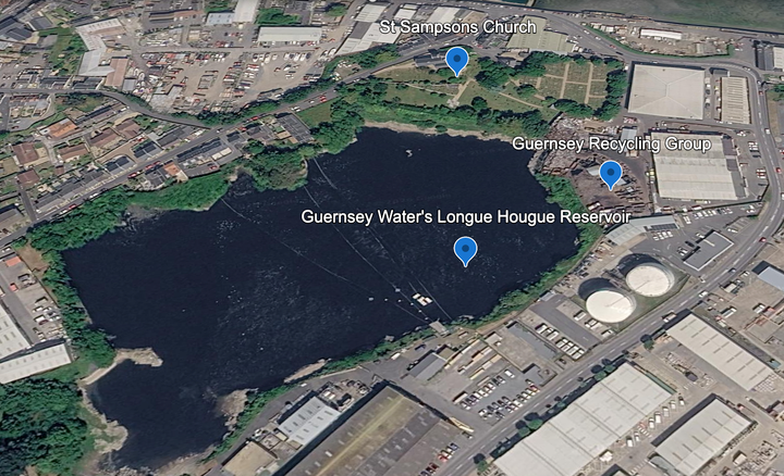
The Bridge at St Sampson's takes its name from an ancient crossing point that once connected two parts of Guernsey separated by the tidal channel of the Braye du Valle. Historical records from 1204 mention a bridge that had to be maintained in good condition, with structures underwater at high tide. In 1806, Lieutenant Governor John Doyle ordered the Braye du Valle to be drained and reclaimed as a defence measure following the French invasion of Jersey in 1781. The British Government paid £3,250 in compensation to saltpan businesses and other owners who lost rights to the foreshore. The eastern end of the former channel became St Sampson's harbour from 1820, while the roadway known as The Bridge recalls that historic crossing. The threat of flooding returned to prominence in 2012 when a Royal Haskoning report commissioned by the States concluded that several flood defences were required, identifying work needed with a high degree of urgency to address a very substantial risk of flooding from overtopping at the Bridge. Despite this warning, no significant flood defence was constructed over the following thirteen years. By May 2025, the States began progressing flood defence work specifically to unlock housing development at multiple sites including Parc Le Lacheur (formerly Kenilworth Vinery), where the Guernsey Housing Association plans over 150 homes, and Leale's Yard, a derelict site that has stalled for more than two decades. The States acquired Leale's Yard from the Co-operative Society, with demolition planned for 2026 and the site designated as a super priority for housing delivery. Climate change analysis and forecast sea level rises have reinforced the urgency of flood protection for this low-lying area built on reclaimed tidal land.
Q&A
Q: When will the site investigations take place?
A: A ground penetrating radar survey will be carried out from Thursday 2 July to Friday 3 July, followed by bore holes and trial holes from Monday 6 July to Friday 10 July.
Q: Why is the flood defence needed?
A: The defence is needed to address the risk of water overtopping at The Bridge seafront, which affects housing development sites in the area and existing homes and businesses. Climate change analysis and forecast sea level rises indicate the potential impact could be significant.
Q: What disruption can be expected during the investigations?
A: Stop/go signs will manage traffic during the radar survey. Some parking will be suspended and pavements closed for limited periods during the bore hole work. Delays may occur during peak times, and islanders are encouraged to use alternative routes or public transport where possible.


Comments ()