
Islanders invited to shape vision for Guernsey's territorial waters
- Islanders invited to contribute views on use of Guernsey's territorial waters through public survey
- Marine Spatial Plan will establish long-term vision for marine environment extending to 12 nautical miles
- Plan will cover almost 700 square miles, balancing fishing, shipping, renewable energy, and conservation needs
- First public survey open until 12th June, with draft plan to be published for further consultation
- Workshops and focus groups with specific stakeholder groups to be held in coming weeks
Key terms
Islanders are being invited to share their views on the current and future use of Guernsey's territorial waters as part of the development of the island's first Marine Spatial Plan.
The plan will establish a long-term vision for how Guernsey's marine environment could be used, helping to guide decisions about activities at sea both now and in the future to benefit current and future generations. It will consider the needs of different marine users, including fishing, shipping, renewable energy, community interests, and conservation.
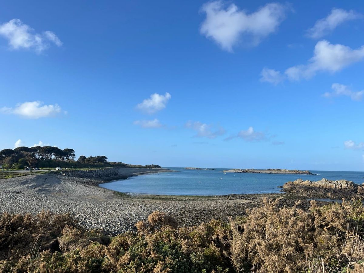
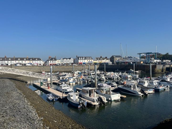
The Marine Spatial Plan will cover Guernsey's territorial waters extending to 12 nautical miles, including the waters around Herm. Together, this area encompasses almost 700 square miles of marine space that supports a wide range of activities and important natural habitats — almost 10 times the size of Guernsey's landmass.
Engagement and consultation with Guernsey's marine users, the wider community, and neighbouring jurisdictions will be integral to shaping a plan that benefits the community, the economy, and the environment.
The current survey represents the first of two opportunities for members of the public to have their say. Workshops and focus groups with specific groups and individuals will also take place over the coming weeks. This feedback will be used to inform a first draft of the Marine Spatial Plan. The draft plan will then be published for people to provide further comments before finalisation.
The online survey can be completed at https://gov.gg/msp and closes on Friday 12th June.
Deputy Sally Rochester, Vice-President of Environment & Infrastructure and political sponsor for the project, said: "Our seas play a huge role in our quality of life and in the economic success of our islands. We also know that protecting and regenerating our marine habitats is critical for future generations of islanders.
"We are working on a marine spatial plan to balance these important factors and want to hear from the community as we shape that plan. We are asking you to share your views through this survey to ensure that the needs of our community are balanced against other users of our waters such as boaters, fishers and developers.
"Our territorial waters represent an incredible opportunity and untapped potential which, with our community's input, can benefit our community both now and for years to come. So please do take the time to share your views with us in the coming weeks."
Q&A
Q: What is a Marine Spatial Plan?
A: A Marine Spatial Plan sets out a long-term vision for how Guernsey's marine environment could be used, helping guide decisions about activities at sea both now and in the future. It considers the needs of different marine users including fishing, shipping, renewable energy, community interests, and conservation.
Q: How large is the area covered by the plan?
A: The plan will cover Guernsey's territorial waters extending to 12 nautical miles, including waters around Herm. This encompasses almost 700 square miles of marine space, almost 10 times the size of Guernsey's landmass.
Q: How can islanders participate in the consultation process?
A: Islanders can complete an online survey available at https://gov.gg/msp until 12th June. This is the first of two public consultation opportunities, with workshops and focus groups also being held with specific stakeholder groups. A draft plan will later be published for further public comment before finalisation.
Comments ()